Satellite and aerial maps of Berlin-Tempelhof with nearby locations
| Nearby locations | Km | Bearing | |
|---|---|---|---|
| | 5.3 | 133 | |
| | 6.4 | 239 | CBF |
| | 7.6 | 341 | |
| | 8.8 | 332 | |
| | 9.1 | 331 | VIRCHOW |
| | 12.4 | 064 |
Berlin-Tempelhof |
1923 to 2008 | ||
| 52° 28' 15'' N 13° 24' 11'' E | ||
| centre of Berlin, Berlin, Berlin | ||
| ICAO: EDDI | IATA: THF | |
| Elevation: 167 feet | ||
When used by the USAF during the Cold War, its ICAO location code was EDBB.
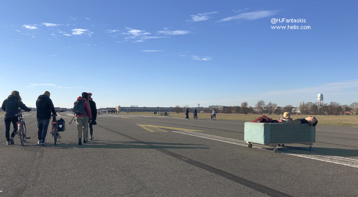
The airfield was closed in 2008 (as Berlin Brandenberg International Airport was supposed to be opening in May 2012) and the site has now become a public garden and gathering place.
The airfield was closed in 2008 (as Berlin Brandenberg International Airport was supposed to be opening in May 2012) and the site has now become a public garden and gathering place.
French were never based at Tempelhof ( See Tegel ). US Army BBDE Avn Det operated Hiller OH-23 Raven in the mode fifties, replaced by OH-13 Sioux which served until 1964. Further helps were H-19 1958-1964, H-34 1961-1966, Bell UH-1B 1966-171,Bell UH-1H Mar71-Aug94
List of units at Berlin-Tempelhof |
| Years | Unit | |
|---|---|---|
| 1993/08 | Christoph Berlin | 412, |
| 1951/94 | 205, 204, S-58 H-34, S-55 H-19, 360, | |
