Satellite and aerial maps of Fort Belvoir / Davison AAF with nearby locations
Fort Belvoir / Davison AAF |
1957 to present | | 38° 42' 55.54'' N 77° 10' 53.88'' W | | 2m E of Lorton, VA, Fort Belvoir, Virginia | | ICAO: KDAA | IATA: DAA | FAA: DAA | | Elevation: 73 feet |
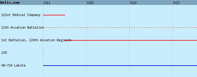
List of units at Fort Belvoir / Davison AAF |
Fort Belvoir / Davison AAF News |
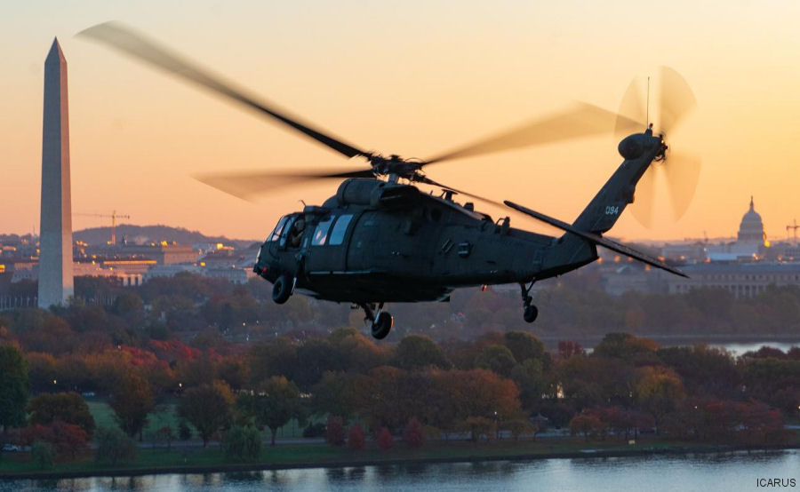
23-Feb-23 - US Army 12th Aviation Battalion, responsible for providing aviation support to the District of Washington, is the first military unit to receive the Instrument Conditions Awareness Recognition and Understanding System (ICARUS) for flight training #Washington
04-Apr-21 - The US Army 911th Technical Rescue Engineer Company ( 911th TREC ) which is specialised in technical rescue, particularly urban search and rescue (USAR) is the only such unit in the Dept of Defense. Based at Fort Belvoir, VA with the 12th Aviation Battalion #UrbanRescue
09-Jun-14 - US Army 12th Aviation Battalion inventory ( 17 UH-60A Black Hawks and 7 UH-72A Lakota ) flew all together over Washington for the last time before their replacement with the UH-60L model
04-Jun-14 - The Army completed the sale of the first 10 CH-47D Chinook helicopters that were auctioned through the General Services Administration website.
|
|
Helicopters for sale
Accidents
Acronyms
Airshows
Future helicopters
Flying a helicopter
Helicopter stories
TV and movies
Helicopter books
Helicopter patches
Helicopter model kits

|