Sultan Azlan Shah

Ipoh , Perak

malaysia Malaysia


Satellite and aerial maps of Sultan Azlan Shah Airport with nearby locations


Nearby locationsKmBearing
Chemor , Perak 18.6010
Tanah Rata , Pahang 34.0108
NE of Tanah Rata , Pahang 42.2090
E of Tanah Rata , Pahang 47.9103
Taiping , Perak 53.3308WMBI
KD Rajawali, Lumut Naval Base , Perak 64.5234WMLH


  Sultan Azlan Shah Airport


4° 34' 4.01'' N     101° 5' 31.21'' E
1nm south of Ipoh,Perak, Ipoh, Perak
ICAO: WMKI IATA: IPH
Elevation: 130 feet


@ (optional)     Send


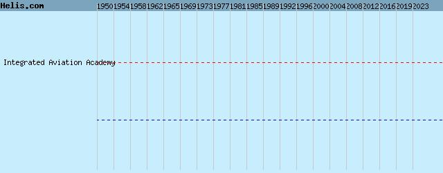
  List of units at Sultan Azlan Shah Airport


Years Unit
Integrated Aviation Academy


  Operations at Sultan Azlan Shah Airport


Dates Operation
01-jul-4831-jul-60 Operation Firedog


List of aircraft and events at Sultan Azlan Shah Airport


DatesOrg/TypeUnit
1954-dec-07 848 NAS HRS-2 WV190

1956-oct-05 Accident194 Squadron Sycamore 4 XE310

2009-nov-28 SA365N 9M-DSA

2010 Integrated Training and Services EC120B 9M-HAC

2022-sep-11 accident EC120B N409HH


Helicopters for sale
Accidents
Acronyms
Airshows
Future helicopters
Flying a helicopter
Helicopter stories
TV and movies

Helicopter books
Helicopter patches
Helicopter model kits


az