Satellite and aerial maps of Henstridge with nearby locations
1943 to present | | 50° 59' 7'' N 2° 21' 19'' W | | 1.5nm NE of Henstridge village, Henstridge, Somerset, England | | ICAO: EGHS | IATA: | Local: EGE23 | | Elevation: 184 feet |
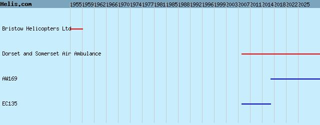
List of units at Henstridge |
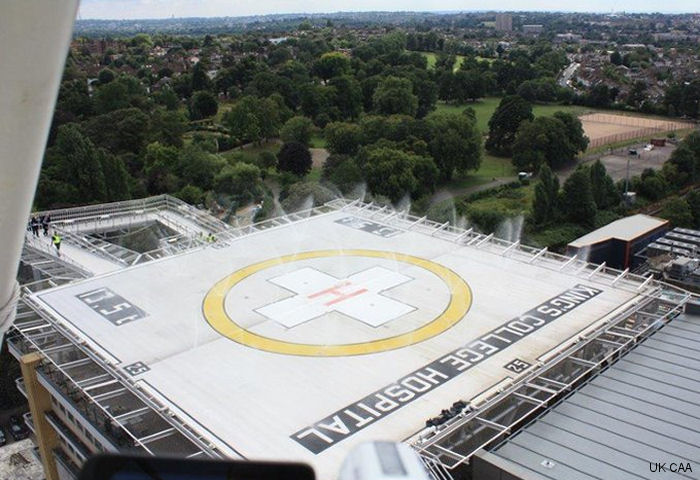
18-Apr-23 - UK air ambulances bases Almondsbury, Strensham, Henstridge, Royal Sussex County Hospital and King’s College Hospital were selected to receive £200,000 of funding from the Global Navigation Satellite System (GNSS) Programme to land more safely in poor weather #helipads
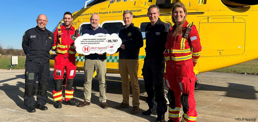
08-Feb-23 - HELP Appeal, the only charity in the UK dedicated to funding lifesaving helipads, made donation to Dorset and Somerset Air Ambulance, for new runway lights, helipad lighting and a new windsock at its Henstridge base #lighting
|
|
Helicopters for sale
Accidents
Acronyms
Airshows
Future helicopters
Flying a helicopter
Helicopter stories
TV and movies
Helicopter books
Helicopter patches
Helicopter model kits

|