Satellite and aerial maps of Paso Robles Municipal with nearby locations
| 35° 40' 22.40'' N 120° 37' 37.50'' W | | Paso Robles, California | | ICAO: KPRB | IATA: PRB | FAA: PRB |
Paso Robles Municipal News |
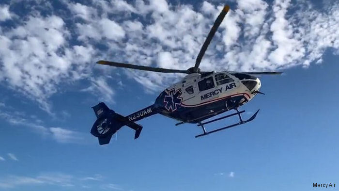
13-Aug-20 - Mercy Air, part of Air Methods, opens new California air ambulance base in Paso Robles which will also serve San Luis Obispo, Templeton, King City, Cambria, Cayucos and others locations in the area #PasoRobles
List of aircraft and events at Paso Robles Municipal |
|
|
Helicopters for sale
Accidents
Acronyms
Airshows
Future helicopters
Flying a helicopter
Helicopter stories
TV and movies
Helicopter books
Helicopter patches
Helicopter model kits

|