Satellite and aerial maps of Santa Ana John Wayne Orange County with nearby locations
Santa Ana John Wayne Orange County |
| 33° 40' 32.52'' N 117° 52' 4.79'' W | | Santa Ana, California | | ICAO: KSNA | IATA: SNA | FAA: SNA |
List of units at Santa Ana John Wayne Orange County |

Santa Ana John Wayne Orange County News |
27-Jul-18 - One Above Aviation flight school, Revolution Aviation but better known as EatSleepFly, received the first Los Angeles' Bell 505 trainer #FlightSchool
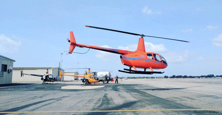
13-Oct-17 - Revolution Aviation flight school at John Wayne Airport, Orange County, CA received two new R22 helicopters
25-Apr-17 - Revolution Aviation (EatSleepFly) renewed lease with the new fixed-base operator (FBO) of John Wayne Airport, in Orange County, California
|
|
Helicopters for sale
Accidents
Acronyms
Airshows
Future helicopters
Flying a helicopter
Helicopter stories
TV and movies
Helicopter books
Helicopter patches
Helicopter model kits

|


