Satellite and aerial maps of Newport State with nearby locations
| 41° 31' 56.78'' N 71° 16' 53.54'' W | | Newport, Rhode Island | | ICAO: KUUU | IATA: NPT | FAA: UUU |
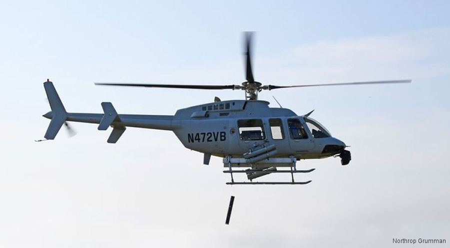
20-Sep-18 - US Navy exercise ANTX demonstrated air drop of sonobuoys and deployment of the micro synthetic aperture sonar (µSAS) from a Northrop Grumman MQ-8C Fire Scout drone helicopter #FireScout
List of aircraft and events at Newport State |
|
|
Helicopters for sale
Accidents
Acronyms
Airshows
Future helicopters
Flying a helicopter
Helicopter stories
TV and movies
Helicopter books
Helicopter patches
Helicopter model kits

|