Satellite and aerial maps of Campo Grande with nearby locations
1932 to present | | 20° 27' 51.48'' S 54° 39' 51.83'' W | | Campo Grande, MS, Campo Grande, Mato Grosso do Sul | | ICAO: SBCG | IATA: CGR | | Elevation: 1833 feet |
Campo Grande international airport shares facilities with the Base Aerea de Campo Grande ( BACG ) of the Brazilian air force
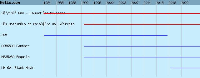
List of units at Campo Grande |
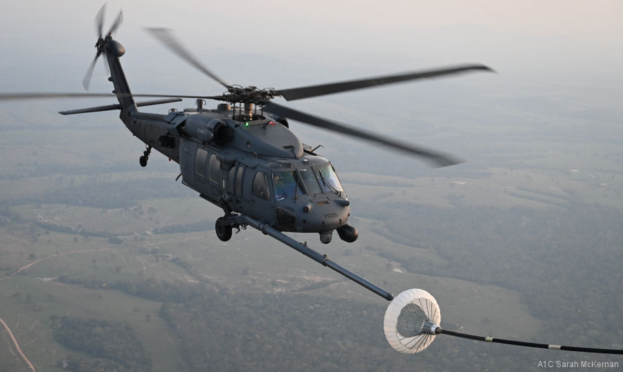
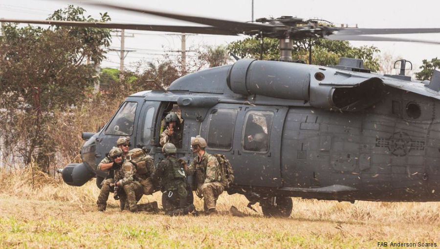
02-Sep-23 - The New York Air National Guard deployed two HH-60G Pave Hawk helicopters and one HC-130J Combat King II from the 106th Rescue Wing to Campo Grande, Brazil for Combat Search and Rescue (CSAR) training. #Brazil
20-Sep-21 - New York Air National Guard Pave Hawk rescue helicopters deployed to Campo Grande air base in Mato Grosso do Sul, Brazil for exercise Tapio 2021 #Tapio2021
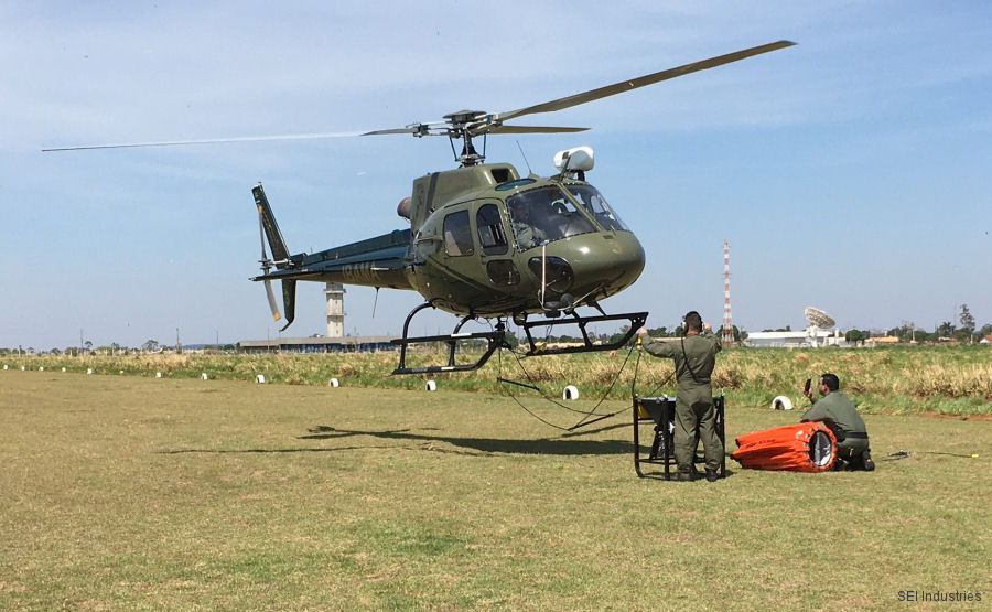
04-Nov-19 - Canadian SEI Industries, the firefighting Bambi Bucket manufacturer, along Tecnoagro Projetos & Representações Ltda and Government’ IBAMA (Brazilian Institute of Environment and Renewable Natural Resources) displayed demonstration of the new SLING DRAGON and BAMBI MAX products in Campo Grande, Brazil #firefighting
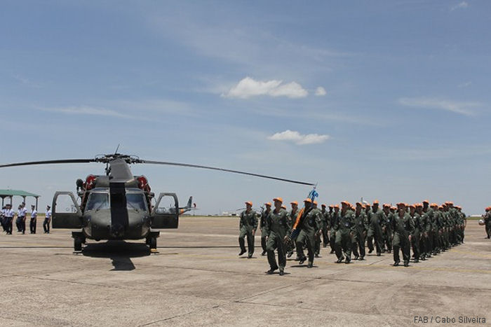
20-Jan-19 - Brazilian Air Force’ search and rescue (SAR) squadron, the Esquadrão Pelicano, celebrated its 61th anniversary transitioning from the UH-1H Huey to the UH-60L Black Hawk #Pelicano
Operations at Campo Grande |
List of aircraft and events at Campo Grande |
By Date | By Serial | By Model
|
|
Helicopters for sale
Accidents
Acronyms
Airshows
Future helicopters
Flying a helicopter
Helicopter stories
TV and movies
Helicopter books
Helicopter patches
Helicopter model kits

|