Satellite and aerial maps of Niteroi Naval Base with nearby locations
| 22° 52' 6'' S 43° 8' 10'' W | | Ilha de Mocanguê, Niterói, Rio de Janeiro | | ICAO: | IATA: | Local: BRNTR | | Elevation: 5 feet |
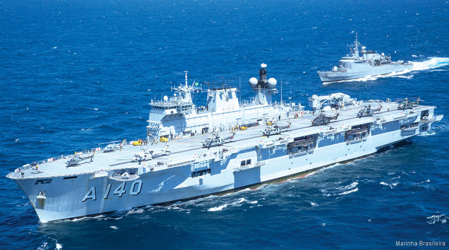
11-Sep-22 - This year’s edition of the maritime exercise is hosted by the Brazilian Navy will included 20 participating nations, 19 ships, one submarine, 21 aircraft and 5,500 total military personnel to conduct operations off the coast of Rio de Janerio #UNITAS
|
|
Helicopters for sale
Accidents
Acronyms
Airshows
Future helicopters
Flying a helicopter
Helicopter stories
TV and movies
Helicopter books
Helicopter patches
Helicopter model kits

|