Satellite and aerial maps of Phare du Griz-Nez with nearby locations
| 50° 52' 7.7'' N 1° 34' 58'' E | | Cap Griz-Nez, Audinghen, 62 Pas-de-Calais, Hauts-de-France | | ICAO: LFIN | IATA: | | Elevation: 160 feet |
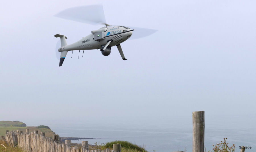
29-Jun-23 - A Schiebel Camcopter drone from the European Maritime Safety Agency (EMSA) has been deployed to Griz-Nez, France for the purpose of monitoring carbon emissions and ensuring maritime safety. #GrizNez
|
|
Helicopters for sale
Accidents
Acronyms
Airshows
Future helicopters
Flying a helicopter
Helicopter stories
TV and movies
Helicopter books
Helicopter patches
Helicopter model kits

|