Satellite and aerial maps of Weston Park with nearby locations
| Nearby locations | Km | Bearing | |
|---|---|---|---|
| | 3.8 | 037 | |
| Sheffield City , England | 6.4 | 076 | EGSY |
| Emdon Services , England | 13.0 | 070 | |
| Netherthorpe , England | 20.9 | 110 | EGNF |
| Firbeck , England | 21.8 | 088 | |
| | 29.2 | 059 | EGCI |
Weston Park |
| 53° 22' 54.5'' N 1° 29' 28'' W | ||
| Public park, 0.1nm N of Hospital, Sheffield, South Yorkshire, England | ||
| Elevation: 400 feet |
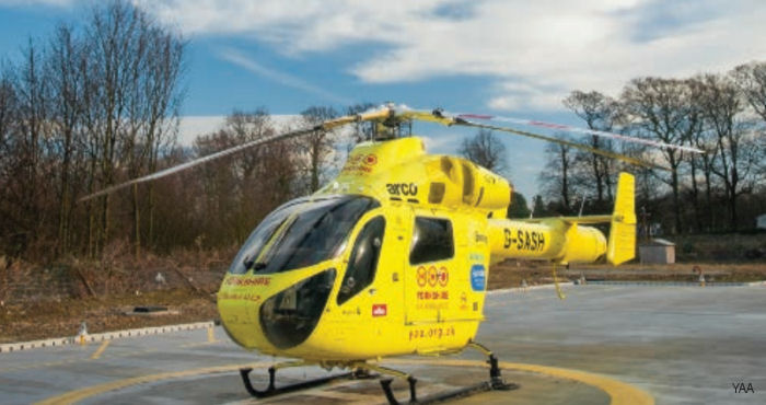
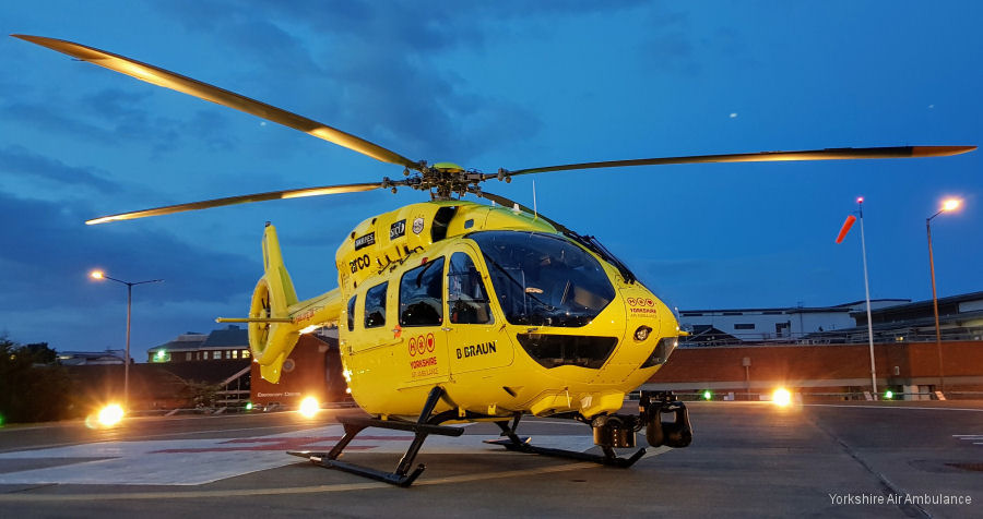
The southern side of this public park is used from time to time as a medical emergency landing site for the nearby Sheffield Childrens Hospital. There is usually enough warning for Police to provide an escort to take patients and attending paramedics across the busy A57 main road (over the Pennines, to Manchester) into the hospital.
Plans have been announced to build a more suitable pad within the grounds of the hospital.
Plans have been announced to build a more suitable pad within the grounds of the hospital.
Weston Park News |
Sheffield Children’s Hospital Helipad to Open this Summer
07-Mar-24 - Sheffield Children’s lifesaving helipad will open in the summer and will reduce delays for patients who need urgent critical care from across South Yorkshire, Derbyshire and Lincolnshire #Sheffield
Sheffield Children’s Helipad Receives £.5M Boost
16-Sep-19 - The fundraising campaign for a new helipad at Sheffield Children’s Hospital received a £ 562,500 charity donation as part of the HELP Appeal’s £ 2.25M pledge #ChildrenHospital