Satellite and aerial maps of Cincinnati Municipal Lunken Field with nearby locations
Cincinnati Municipal Lunken Field |
| 39° 6' 11.87'' N 84° 25' 6.97'' W | | Cincinnati, Ohio | | ICAO: KLUK | IATA: LUK | FAA: LUK |
List of units at Cincinnati Municipal Lunken Field |
Cincinnati Municipal Lunken Field News |
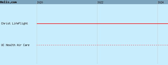
23-Apr-20 - Christ Hospital Health Network at Cincinnati, Ohio launched Christ LifeFlight air ambulance that will be operated by Air Methods #ChristHospital
List of aircraft and events at Cincinnati Municipal Lunken Field |
By Date | By Serial | By Model
|
|
Helicopters for sale
Accidents
Acronyms
Airshows
Future helicopters
Flying a helicopter
Helicopter stories
TV and movies
Helicopter books
Helicopter patches
Helicopter model kits

|