Satellite and aerial maps of Camp Dawson with nearby locations
Range Road, Heathers Run, Preston County, West Virginia, 26537, United States
1909 to present | | 39° 26' 43.00'' N 79° 40' 11.99'' W | | 1.6nm SE of Kingwood, Kingwood, West Virginia | | ICAO: | IATA: | FAA: 3G5 | | Elevation: 1265 feet |
List of units at Camp Dawson |
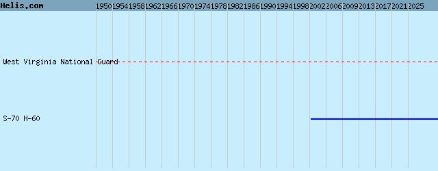
List of aircraft and events at Camp Dawson |
|
|
Helicopters for sale
Accidents
Acronyms
Airshows
Future helicopters
Flying a helicopter
Helicopter stories
TV and movies
Helicopter books
Helicopter patches
Helicopter model kits

Download App
|