Satellite and aerial maps of University of Cincinnati MC with nearby locations
University of Cincinnati Medical Center, 234, Goodman Street, Pill Hill, Corryville, Cincinnati, Hamilton County, Ohio, 45219, United States
University of Cincinnati MC |
1991 to present | | 39° 8' 14.21'' N 84° 30' 9.81'' W | | 2nm NNE of Cincinnati, Cincinnati, Ohio | | ICAO: | IATA: | FAA: 8OH9 | | Elevation: 937 feet |
List of units at University of Cincinnati MC |
University of Cincinnati MC News |
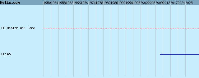
23-Oct-12 - First of two new EC145s are now in service for Air Care & Mobile Care which serves the Greater Cincinnati region. Second is scheduled for next December. Customized and operated by Metro Aviation
|
|
Helicopters for sale
Accidents
Acronyms
Airshows
Future helicopters
Flying a helicopter
Helicopter stories
TV and movies
Helicopter books
Helicopter patches
Helicopter model kits

Download App
|