Satellite and aerial maps of Faraid Head HLS with nearby locations
| Nearby locations | Km | Bearing | |
|---|---|---|---|
| Balnakiel , Scotland | 3.5 | 171 | |
| Durness , Scotland | 4.8 | 145 | GBDNS |
| | 12.9 | 152 | |
| | 26.0 | 325 | |
| | 57.7 | 021 | SCO-231 |
| | 83.0 | 314 | SCO-153 |
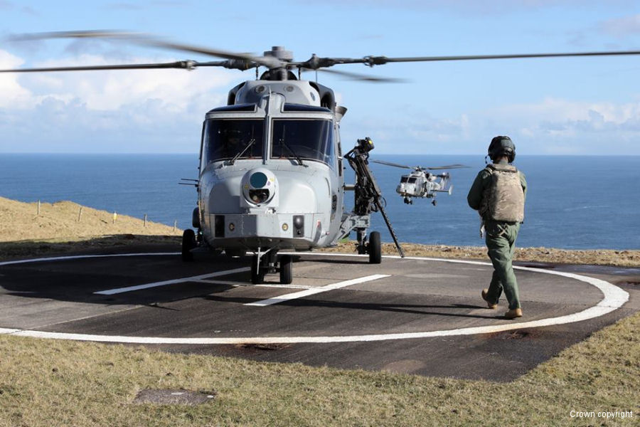
Faraid Head HLS |
| 58° 36' 8.75'' N 4° 46' 31.95'' W | ||
| 2nm NW of Durness, Durness, Highlands and Islands, Scotland | ||
| ICAO: | IATA: | |
| Elevation: 243 feet | ||
Adjacent to Faraid Head Light, near the Cape Wrath Ranges and just 3 nm SE of Garvie Island bombing range. 
Operations at Faraid Head HLS |
| Dates | Operation | |
|---|---|---|
| 21-sep-20 | 15-oct-20 | Exercise Joint Warrior 20-2 |
