Satellite and aerial maps of Outlaw Field with nearby locations
Outlaw Field, Friar Drive, Sherwood Forest, Clarksville, Montgomery County, Middle Tennessee, Tennessee, 37042, United States
1937 to present | | 36° 37' 18.70'' N 87° 24' 53.78'' W | | 6nm NW of Clarksville, Clarksville, Tennessee | | ICAO: KCKV | IATA: CKV | FAA: CKV | | Elevation: 549 feet |
List of units at Outlaw Field |
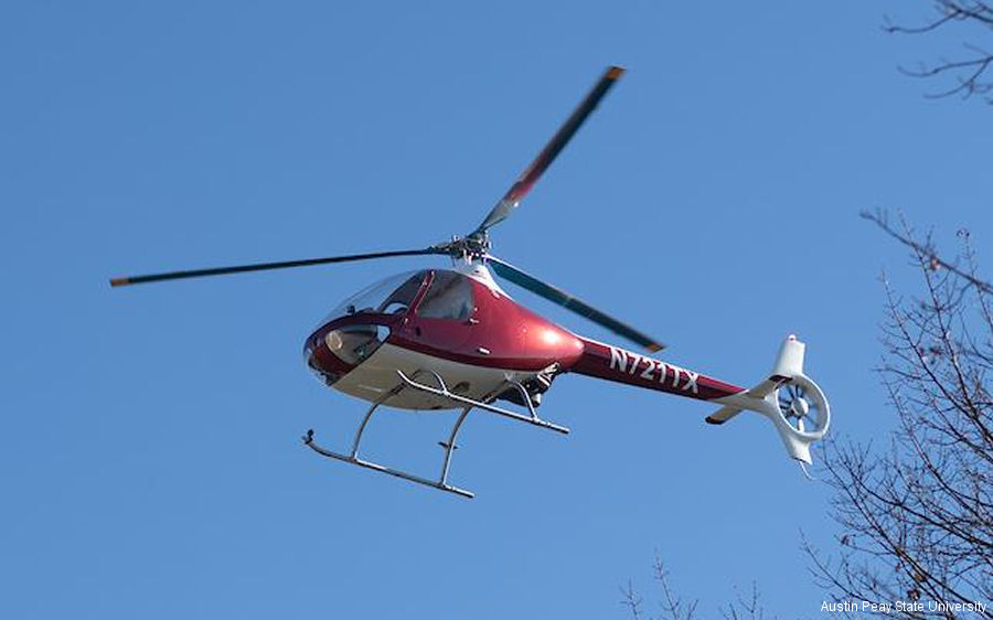
11-Jan-19 - Austin Peay State University launching an aviation science degree with a concentration in rotor wing program with the reception of Guimbal Cabri and R44 helicopters #APSU
List of aircraft and events at Outlaw Field |
|
|
Helicopters for sale
Accidents
Acronyms
Airshows
Future helicopters
Flying a helicopter
Helicopter stories
TV and movies
Helicopter books
Helicopter patches
Helicopter model kits

Download App
|