Satellite and aerial maps of Jackson with nearby locations
Julian Carroll Airport, Sugar Camp Road, Breathitt County, Kentucky, United States
1980 to present | | 37° 35' 37.90'' N 83° 19' 2.08'' W | | Jackson, Kentucky | | ICAO: KJKL | IATA: | FAA: JKL | | Elevation: 1380 feet |
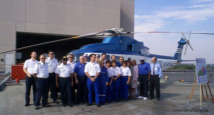
14-Sep-98 - UK’s Air Medical Service of the University of Kentucky Hospital will locate a second helicopter in Jackson to better serve Eastern, Southeastern and Central Kentucky residents
|
|
Helicopters for sale
Accidents
Acronyms
Airshows
Future helicopters
Flying a helicopter
Helicopter stories
TV and movies
Helicopter books
Helicopter patches
Helicopter model kits

Download App
|