Satellite and aerial maps of Pearland Regional with nearby locations
Pearland Regional Airport, West Friendswood Drive, Brazoria County, Texas, 77546, United States
1950 to present | | 29° 31' 16.60'' N 95° 14' 31.71'' W | | 6.5nm WSW of Webster, Houston, Texas | | ICAO: KLVJ | IATA: | FAA: LVJ | | Elevation: 43 feet |
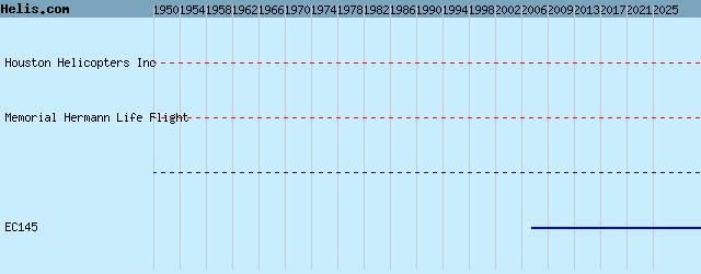
List of units at Pearland Regional |
|
|
Helicopters for sale
Accidents
Acronyms
Airshows
Future helicopters
Flying a helicopter
Helicopter stories
TV and movies
Helicopter books
Helicopter patches
Helicopter model kits

Download App
|