Satellite and aerial maps of McClellan with nearby locations
1938 to present | | 38° 39' 59.83'' N 121° 24' 1.83'' W | | 7nm NE of Sacramento, CA, Sacramento, California | | ICAO: KMCC | IATA: MCC | FAA: MCC | | Elevation: 77 feet |
Was McClellan AFB from 1938 to 2000
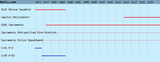
List of units at McClellan |
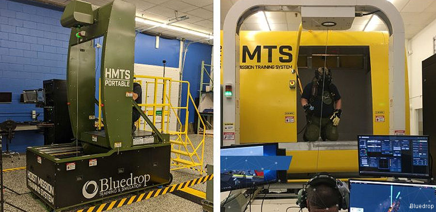
01-Jul-23 - Bluedrop awarded two Hoist Mission Training System contract by the California Department of Forestry and Fire Protection – CAL FIRE #hoist
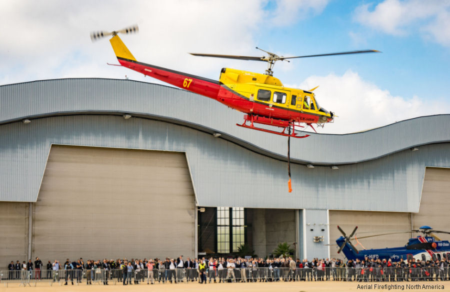
27-Feb-20 - Aerial Firefighting (AFF) North America 2020 Conference and Exhibition taking place at McClellan Conference Center in Sacramento, California, March 4-5 #firefighting
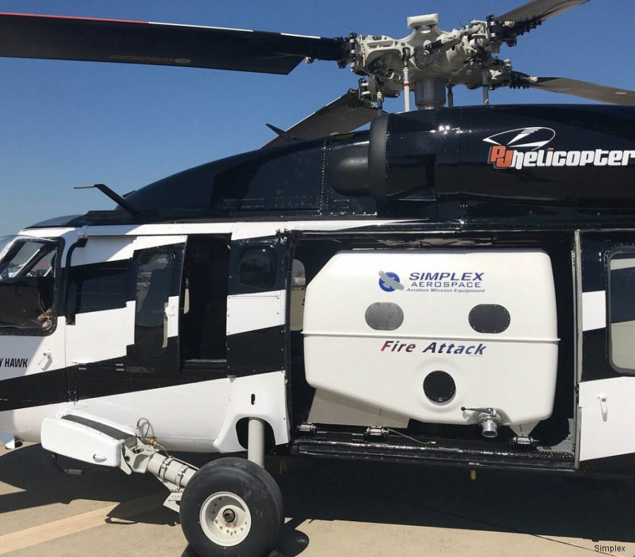
15-Mar-18 - Simplex unveiled new 850 gallon / 3200 liters internal fire attack system for the Black Hawk S-70i, S-70A, UH-60A and UH-60L
22-Feb-18 - The Aerial Firefighting North America Conference and Exhibition 2018 will take place at Sacramento McClellan Airport California March 12-14
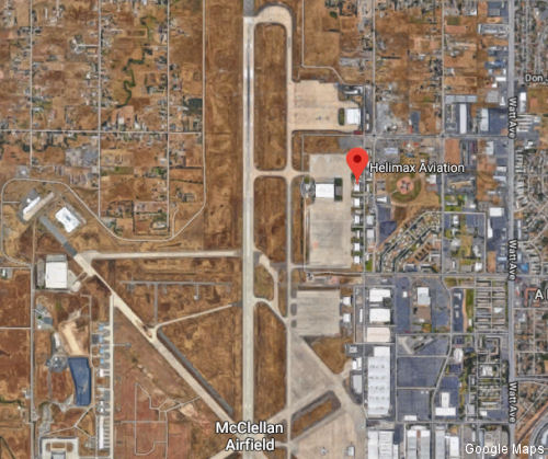
27-May-15 - Helimax Aviation is expanding its long-time base of operations at McClellan Airport in Sacramento, CA with the opening of a renovated 40,000 square foot hangar
|
|
Helicopters for sale
Accidents
Acronyms
Airshows
Future helicopters
Flying a helicopter
Helicopter stories
TV and movies
Helicopter books
Helicopter patches
Helicopter model kits

|