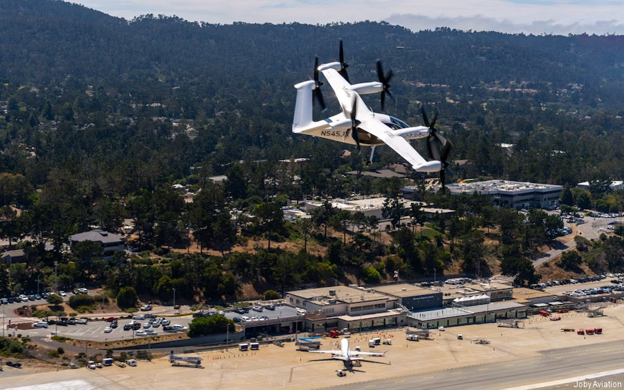
Monterey Regional Airport
Monterey Regional
KMRY · MRY
1936-
 Monterey, California
36.587002, -121.843002
Monterey Regional Airport, Airport Road, Casanova Oak Knoll, Monterey, Monterey County, California, 93955, United States
Nearby Locations
| Km | |||
|---|---|---|---|
| 11.2 | 059° | ||
| Marina Municipal Airport | KOAR | 12.8 | 035° |
| Salinas Municipal Airport | KSNS | 22.8 | 068° |
| Watsonville Municipal Airport | KWVI | 39.1 | 007° |
| Hollister Municipal Airport | KCVH | 51.5 | 048° |
| 5CL2 | 55.4 | 026° |
Created 1936, was known as Monterey Peninsula Airport until September 14, 2011