Satellite and aerial maps of Payson with nearby locations
Payson Airport, West Airport Road, Payson, Gila County, Arizona, 85072, United States
1964 to present | | 34° 15' 24.49'' N 111° 20' 20.39'' W | | 1nm NW of Payson, Payson, Arizona | | ICAO: KPAN | IATA: PJB | FAA: PAN | | Elevation: 5156 feet |

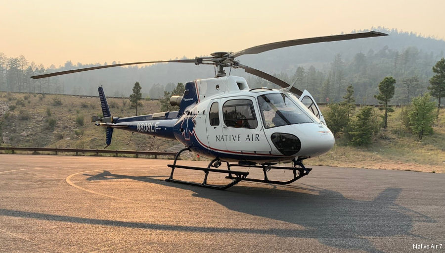
19-Apr-22 - Air ambulance Native Air 7, operated by Air Methods, celebrates two decades of medical emergency service in central Arizona. Operating from Payson Airport since April 2002 serving surrounding communities #Arizona
|
|
Helicopters for sale
Accidents
Acronyms
Airshows
Future helicopters
Flying a helicopter
Helicopter stories
TV and movies
Helicopter books
Helicopter patches
Helicopter model kits

Download App
|