Satellite and aerial maps of Porterville Muni with nearby locations
Porterville Municipal Airport, Wildcat Way, Porterville, Tulare County, California, 93257, United States
1942 to present | | 36° 1' 46.50'' N 119° 3' 45.80'' W | | 3nm SW of Porterville, Porterville, California | | ICAO: KPTV | IATA: PTV | FAA: PTV | | Elevation: 443 feet |
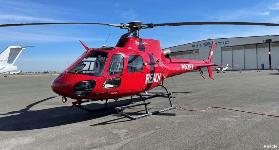
24-Apr-23 - California-based air ambulance operator REACH Air Medical Services, part of Global Medical Response (GMR) opening new base in Porterville with an Airbus H125 helicopter to serve San Joaquin Valley and surrounding communities #California
List of aircraft and events at Porterville Muni |
|
|
Helicopters for sale
Accidents
Acronyms
Airshows
Future helicopters
Flying a helicopter
Helicopter stories
TV and movies
Helicopter books
Helicopter patches
Helicopter model kits

Download App
|