Satellite and aerial maps of San Angelo Regional / Mathis Field with nearby locations
San Angelo Regional Airport - Mathis Field, Hangar Road, San Angelo, Tom Green County, Texas, United States
San Angelo Regional / Mathis Field |
1943 to present | | 31° 21' 27.90'' N 100° 29' 46.71'' W | | 7nm SW of San Angelo, San Angelo, Texas | | ICAO: KSJT | IATA: SJT | FAA: SJT | | Elevation: 1918 feet |
List of units at San Angelo Regional / Mathis Field |
San Angelo Regional / Mathis Field News |
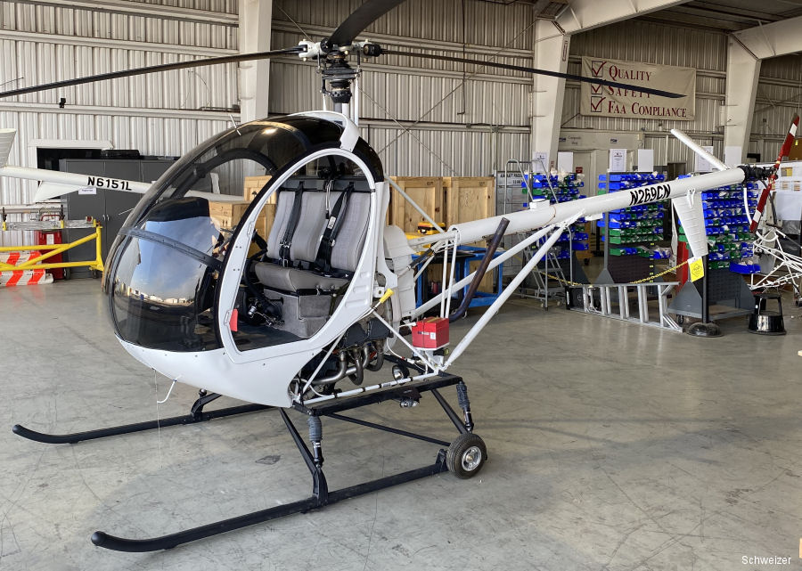
26-Jul-23 - Skyline Aviation ordered two new Schweizer S300C helicopters for the Angelo State University (ASU) Aviation Program in Texas #SanAngelo
List of aircraft and events at San Angelo Regional / Mathis Field |
|
|
Helicopters for sale
Accidents
Acronyms
Airshows
Future helicopters
Flying a helicopter
Helicopter stories
TV and movies
Helicopter books
Helicopter patches
Helicopter model kits

Download App
|