Satellite and aerial maps of Hawke's Bay with nearby locations
Hawke's Bay Airport, Watchman Road, Westshore, Napier City, Hawke's Bay, 4141, New Zealand
| 39° 27' 57'' S 176° 52' 12'' E | | Westshore, Napier, Hawke's Bay | | ICAO: NZNR | IATA: NPE | | Elevation: 6 feet |
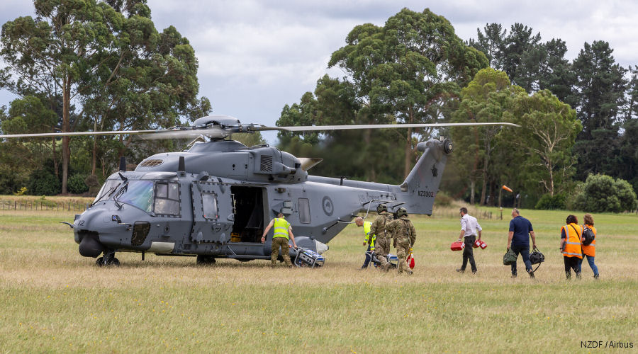
11-Apr-23 - Royal New Zealand Air Force (RNZAF) No. 3 Squadron NH90 helicopters played a key role in the disaster relief operations when tropical Cyclone Gabrielle hit the North Island #CycloneGabrielle
|
|
Helicopters for sale
Accidents
Acronyms
Airshows
Future helicopters
Flying a helicopter
Helicopter stories
TV and movies
Helicopter books
Helicopter patches
Helicopter model kits

Download App
|