Satellite and aerial maps of Homer with nearby locations
| 59° 38' 44.01'' N 151° 28' 35.68'' W | | Homer, Alaska, Homer, Alaska | | ICAO: PAHO | IATA: HOM | FAA: HOM | | Elevation: 84 feet |

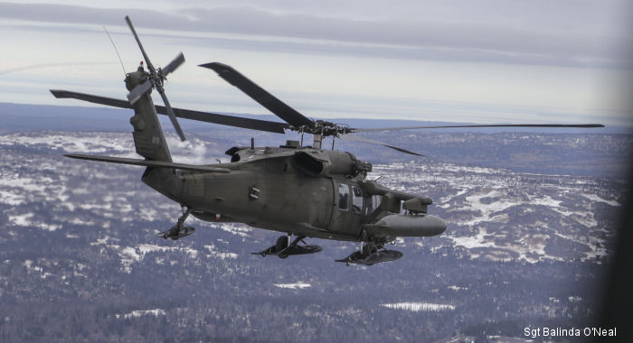
27-May-15 - Alaska National Guard teamed up with Alaskan Command, US Army Alaska and other federal and state entities to support Operation Rock and a Hard Place in Homer, Alaska
List of aircraft and events at Homer |
|
|
Helicopters for sale
Accidents
Acronyms
Airshows
Future helicopters
Flying a helicopter
Helicopter stories
TV and movies
Helicopter books
Helicopter patches
Helicopter model kits

|

