Tenzing-Hillary Airport
Lukla , Province No. 1
 Nepal
Nepal
| | |
Satellite and aerial maps of Lukla with nearby locations
Tenzing-Hillary Airport, Lukla to Namche kun, Khumbupasanglahmu-02, Lukla, Khumbupasanglahmu, Solukhumbu, Koshi Province, Nepal
1964 to present | | 27° 41' 16.00'' N 86° 43' 53.01'' E | | Lukla, Province No. 1 | | ICAO: VNLK | IATA: LUA | | Elevation: 9337 feet |
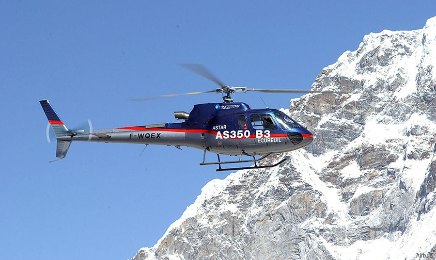
15-May-14 - An AS350B3 helicopter landed at 8,850 meters (29,035ft) on the top of the Mount Everest
List of aircraft and events at Lukla |
|
|
Helicopters for sale
Accidents
Acronyms
Airshows
Future helicopters
Flying a helicopter
Helicopter stories
TV and movies
Helicopter books
Helicopter patches
Helicopter model kits

Download App
|