Satellite and aerial maps of Leeds General Infirmary with nearby locations
| Nearby locations | Km | Bearing | |
|---|---|---|---|
| Leeds Bradford , England | 10.0 | 314 | EGNM |
| Carr Gate , England | 10.3 | 175 | |
| Leeds heliport - Coney Park , England | 11.1 | 319 | EGNP |
| | 12.8 | 162 | EGJ37 |
| Follifoot Ridge , England | 18.6 | 010 | |
| Rudding Park , England | 19.2 | 011 |
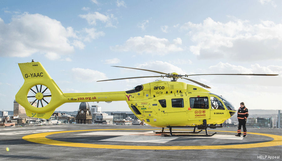
Leeds General Infirmary |
1869 to present | ||
| 53° 48' 10.1'' N 1° 33' 8.5'' W | ||
| 0.2nm NW of city centre, Leeds, West Yorkshire, England | ||
| ICAO: | IATA: | Local: EGF20 |
| Elevation: 284 feet | ||
Leeds GI is a UK Major Trauma centre. The helipad was upgraded in Nov 2017 to improve lighting and firefighting equipment, allowing night operations.
Local code was EGL09 in 2007.
Local code was EGL09 in 2007.
Leeds General Infirmary News |