Satellite and aerial maps of Mull of Kintyre with nearby locations
| Nearby locations | Km | Bearing | |
|---|---|---|---|
| nr Mull of Kintyre , Scotland | 0.5 | 057 | |
| Campbeltown , Scotland | 15.8 | 027 | EGEC |
| | 17.4 | 045 | |
| | 18.3 | 162 | |
| | 18.5 | 048 | GBCBT |
| Campbeltown OFD , Scotland | 18.7 | 050 |
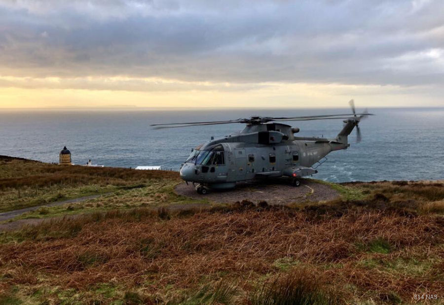
Mull of Kintyre |
| 55° 18' 38.55'' N 5° 48' 5'' W | ||
| Mull of Kintyre, Campbeltown, Highlands and Islands, Scotland | ||
| ICAO: | IATA: | Local: SCO-145 |
| Elevation: 330 feet | ||
List of units at Mull of Kintyre |
| Years | Unit | |
|---|---|---|
| Light house Operations | ||
