Satellite and aerial maps of CFB Bagotville with nearby locations
Chemin du Périmètre, Arrondissement de La Baie, Saguenay, Saguenay–Lac-Saint-Jean, Quebec, G7B 3N8, Canada
1942 to present | | 48° 19' 50.16'' N 70° 59' 48.85'' W | | 5.2 mi W Bagotville, Quebec, Bagotville, Quebec | | ICAO: CYBG | IATA: YBG | | Elevation: 522 feet |
List of units at CFB Bagotville |
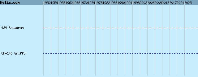
List of aircraft and events at CFB Bagotville |
|
|
Helicopters for sale
Accidents
Acronyms
Airshows
Future helicopters
Flying a helicopter
Helicopter stories
TV and movies
Helicopter books
Helicopter patches
Helicopter model kits

Download App
|