--- NG --- ( switch sort order ) -- off Lagos -- Port Harcourt airbase -- NAS Ojo -- OAS Helicopters Heliport -- Ngala Helipad -- Calabash Island -- Beecroft Jetty -- Victoria helipad -- Danmole helipad -- LASUTH helipad -- Caverton -- Banana -- Apapa DNAA -- Abuja DNAI -- Uyo Akwa Ibom DNAK -- Akure DNAN -- Umueri / Anambra DNAS -- Asaba Intl DNBA -- Bauchi DNBE -- Benin DNCA -- Margaret Ekpo Intl DNEK -- Eket DNEN -- Enugu DNGO -- Gombe DNIB -- Ibadan DNIL -- Ilorin DNIM -- Owerri DNJO -- Jos Airport DNKA -- Kaduna DNKN -- Kano DNKT -- Katsina Airport DNMA -- Maiduguri Intl DNMK -- Makurdi DNMM -- Lagos International DNMN -- Minna DNOG -- Gateway Intl DNPO -- Port Harcourt International Airport DNSO -- Sokoto DNSU -- Warri DNYO -- Yola DNZA -- Zaria ---- More Bases ----
Nnamdi Azikiwe International Airport Abuja , Federal Capital Territory
Nigeria
Bill Clinton Drive, Municipal Area Council, Federal Capital Territory, Nigeria Nearby locations Km Bearing Minna , Niger 113.4 309 DNMN Kaduna , Kaduna 187.9 001 DNKA Jos Airport , Plateau 189.7 068 DNJO Makurdi , Benue 207.5 134 DNMK Zaria , Kaduna 240.6 011 DNZA Enugu , Enugu 283.5 173 DNEN
9° 0' 24.45'' N 7° 15' 47.42'' E Abuja, Federal Capital Territory ICAO: DNAA IATA: ABV Elevation: 1122 feet
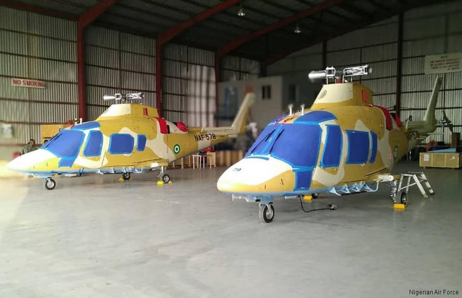
20-Jan-20 - Nigerian Air Force (NAF) received two new AW109E Power. In the last 5 years, NAF received a total of 19 helicopters including the 4 Power, 5 Mi-35M, 2 Bell 412, 3 EC135, 3 AS365 and 2 EH101 through new acquisitions, transferred from other gov agencies or seized by customs #Power
List of aircraft and events at Abuja
Helicopters for sale Accidents Acronyms Airshows Future helicopters Flying a helicopter Helicopter stories TV and movies Helicopter books Helicopter patches Helicopter model kits