RAF Watton
RAF Watton
EGYR
1937-1971
 Watton, Norfolk, England
52.564722, 0.8625 · 190 feet
Location
Tracking
Viking Drive, Griston, Breckland District, Norfolk, England, IP25 6FY, United Kingdom
Nearby Locations
| Km | |||
|---|---|---|---|
| Shipdham | EGSA | 8.5 | 032° |
 Stanford Training Area Stanford Training Area |
9.6 | 229° | |
| Scarning |
12.5 | 011° | |
| Snetterton Circuit |
12.5 | 153° | |
| Old Buckenham | EGSV | 14.8 | 120° |
| Hethel | EGSK | 21.2 | 091° |
Building started during the RAF expansion, in Sep 1936. Many RAF and USAAF flying units were based during WWII and it became a major signals base in the 1950/60s.
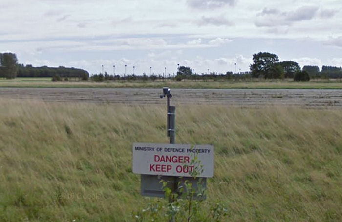
Operational flying ceased here on 1 Feb 1971, although the military air traffic control radar units stayed on (Eastern Radar until 1988 and Border Radar 1989, until Nov 1992).
By Sep 2017, the main runway was principally occupied with raising pigs.
Operational flying ceased here on 1 Feb 1971, although the military air traffic control radar units stayed on (Eastern Radar until 1988 and Border Radar 1989, until Nov 1992).
By Sep 2017, the main runway was principally occupied with raising pigs.