Satellite and aerial maps of Ingolstadt/Manching with nearby locations
1938 to present | | 48° 42' 56.51'' N 11° 32' 2.40'' E | | 8 km southeast of Ingolstadt, Ingolstadt, Bavaria | | ICAO: ETSI | IATA: IGS | | Elevation: 1202 feet |
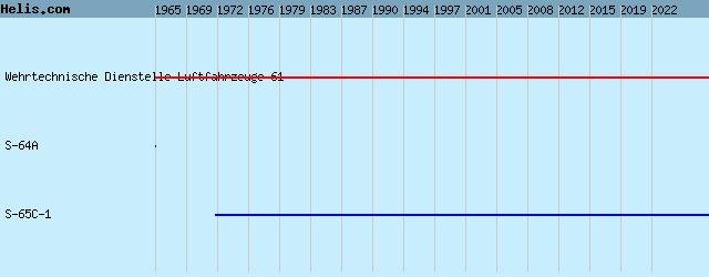
List of units at Ingolstadt/Manching |
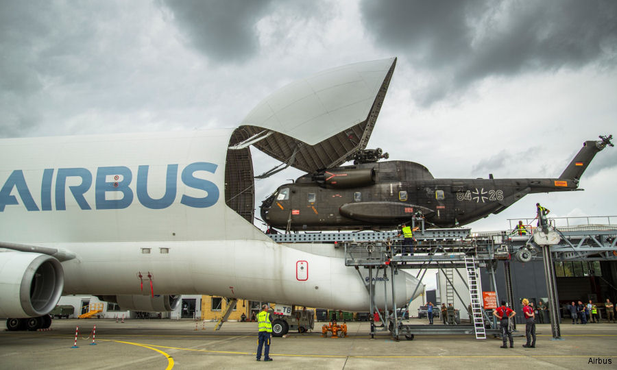
26-Sep-22 - A German Luftwaffe CH-53 heavy helicopter was successfully loaded into the A300-600ST Beluga cargo plane during tests performed at Airbus’ Manching site #beluga
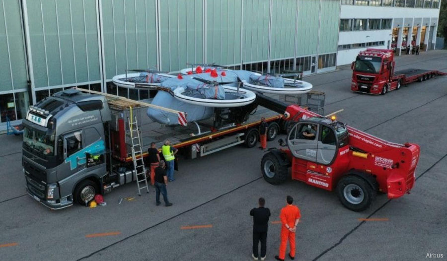
31-Aug-20 - Airbus multicopter demonstrator CityAirbus for future urban air mobility arrive to Manching airfield to expand the flight envelope test program #drones
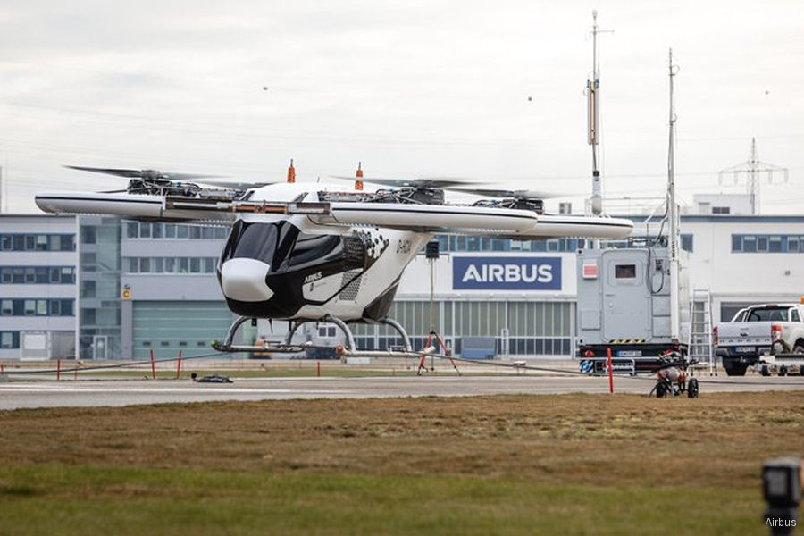
04-Dec-19 - CityAirbus, an electric multi-copter for urban air mobility, ready to start free flight program shortly at Manching, Germany #CityAirbus
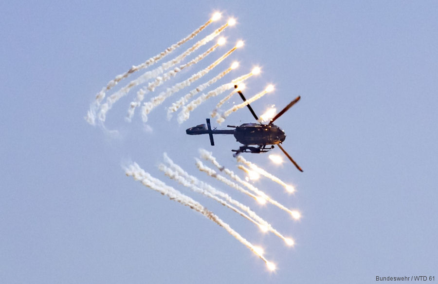
05-May-19 - German Armed Forces Technical and Airworthiness Center for Aircraft 61 tested flare decoys protection system on the H145M #H145M
|
|
Helicopters for sale
Accidents
Acronyms
Airshows
Future helicopters
Flying a helicopter
Helicopter stories
TV and movies
Helicopter books
Helicopter patches
Helicopter model kits

|
