Baltimore/Washington International Thurgood Marshall Airport

Baltimore , Maryland

usa USA


Satellite and aerial maps of Baltimore with nearby locations

Baltimore-Washington International/Thurgood Marshall Airport, 7050, Lotus Avenue, Shirley Estates, Woodlawn Heights, Glen Burnie, Anne Arundel County, Maryland, 21240, United States

Nearby locationsKmBearing
Baltimore Washington MC , Maryland 6.21340MD0
CGY Curtis Bay , Maryland 9.0074
St Agnes Hospital , Maryland 10.535812MD
Fort George G Meade Museum , Maryland 10.6216
Port Covington , Maryland 11.3032
Fort Meade Tipton , Maryland 12.6217KFME


  Baltimore


1950 to present

39° 10' 32.88'' N     76° 40' 16.33'' W
9nm SSW of Baltimore, Baltimore, Maryland
ICAO: KBWI IATA: BWI FAA: BWI
Elevation: 143 feet


@ (optional)     Send


  List of units at Baltimore


Years Unit
1971/98BPD


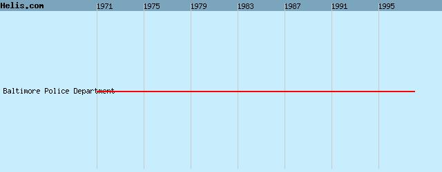
List of aircraft and events at Baltimore


DatesOrg/TypeUnit
2002-sep-28 MD520N N520PG

2004-may-05 430 N304AG

2009-mar-24 State of Indiana MD500E N98SP
2009-apr-21 MK510 G-17-510

2010-nov-10 UH-60A 81-23594

2011-dec-01 Trump Airlines S-76B N76DT

2016-apr-16 accident 206B-2 N326AC
2016-sep-23 State of Maryland AW139 N390MD


Helicopters for sale
Accidents
Acronyms
Airshows
Future helicopters
Flying a helicopter
Helicopter stories
TV and movies

Helicopter books
Helicopter patches
Helicopter model kits


az


Download App