Satellite and aerial maps of Manassas Regional with nearby locations
Manassas Regional Airport, Harry J Parrish Boulevard, Manassas, Virginia, 20110, United States
1964 to present | | 38° 43' 15.68'' N 77° 30' 54.35'' W | | 28nm WSW of Washington, Washington, District of Columbia | | ICAO: KHEF | IATA: MNZ | FAA: HEF | | Elevation: 192 feet |
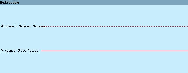
List of units at Manassas Regional |
|
|
Helicopters for sale
Accidents
Acronyms
Airshows
Future helicopters
Flying a helicopter
Helicopter stories
TV and movies
Helicopter books
Helicopter patches
Helicopter model kits

Download App
|