Satellite and aerial maps of Santa Ynez with nearby locations
Airport Road, Santa Ynez, Santa Barbara County, California, 93460, United States
1947 to present | | 34° 36' 27.3'' N 120° 4' 31.05'' W | | 1m NW of Santa Ynez, Santa Barbara County, California | | ICAO: KIZA | IATA: IZA | | Elevation: 671 feet |
List of units at Santa Ynez |
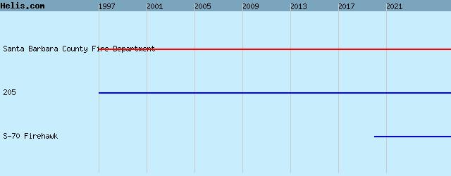
List of aircraft and events at Santa Ynez |
|
|
Helicopters for sale
Accidents
Acronyms
Airshows
Future helicopters
Flying a helicopter
Helicopter stories
TV and movies
Helicopter books
Helicopter patches
Helicopter model kits

Download App
|