Satellite and aerial maps of Greenbrier Valley with nearby locations
Greenbrier Valley Airport, Maxwelton Post Office Road, Maxwelton, Greenbrier County, West Virginia, 24957, United States
1968 to present | | 37° 51' 29.90'' N 80° 23' 58.14'' W | | 3nm NNE of Lewisburg, Lewisburg, West Virginia | | ICAO: KLWB | IATA: LWB | FAA: LWB | | Elevation: 2303 feet |
List of units at Greenbrier Valley |

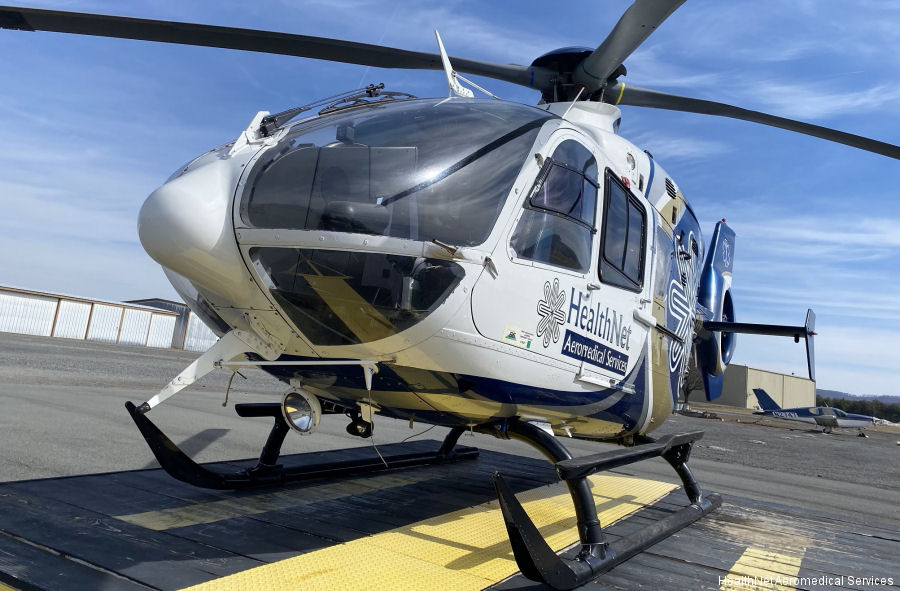
11-Mar-21 - HealthNet air ambulance base in Lewisburg, West Virginia upgraded to an EC135 helicopter. Operated by Air Methods, Base #9 has operated an EC130 since 2015 #Lewisburg
List of aircraft and events at Greenbrier Valley |
|
|
Helicopters for sale
Accidents
Acronyms
Airshows
Future helicopters
Flying a helicopter
Helicopter stories
TV and movies
Helicopter books
Helicopter patches
Helicopter model kits

Download App
|