Satellite and aerial maps of Virginia Highlands with nearby locations
Virginia Highlands Airport, Rose Down Lane, Washington County, Virginia, 24210, United States
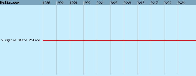
1986 to present | | 36° 41' 13.56'' N 82° 1' 59.97'' W | | 2nm WSW of Abingdon, Abingdon, Virginia | | ICAO: KVJI | IATA: VJI | FAA: VJI | | Elevation: 2087 feet |
List of units at Virginia Highlands |
List of aircraft and events at Virginia Highlands |
|
|
Helicopters for sale
Accidents
Acronyms
Airshows
Future helicopters
Flying a helicopter
Helicopter stories
TV and movies
Helicopter books
Helicopter patches
Helicopter model kits

Download App
|