Satellite and aerial maps of Iwo Jima Air Base (Iwoto Field) with nearby locations
Iwo Jima Airport, Aza Motoyama, Ioto, Ogasawara, Ogasawara Subprefecture, Tokyo, 100-2100, Japan
Iwo Jima Air Base (Iwoto Field) |
1944 to present | | 24° 47' 3'' N 141° 19' 21'' E | | North Field, Iwo Jima, Iwo Jima Island | | ICAO: RJAW | IATA: IWO | | Elevation: 384 feet |
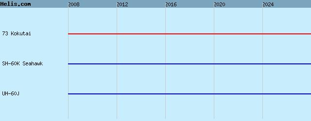
List of units at Iwo Jima Air Base (Iwoto Field) |
|
|
Helicopters for sale
Accidents
Acronyms
Airshows
Future helicopters
Flying a helicopter
Helicopter stories
TV and movies
Helicopter books
Helicopter patches
Helicopter model kits

Download App
|