Satellite and aerial maps of Camp Edwards with nearby locations
Turpentine Road, Bourne, Barnstable County, Massachusetts, 02542, United States
1911 to present | | 41° 42' 13'' N 70° 32' 24.75'' W | | Bourne, Falmouth and Sandwich, Massachusetts | | Elevation: 180 feet |
List of units at Camp Edwards |
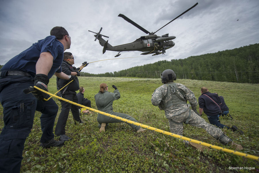
04-Dec-17 - Partnerships between the US Army and communities outside its installations recognized during a ceremony at The Pentagon
|
|
Helicopters for sale
Accidents
Acronyms
Airshows
Future helicopters
Flying a helicopter
Helicopter stories
TV and movies
Helicopter books
Helicopter patches
Helicopter model kits

Download App
|