 Teach Solais Rinn Duáin
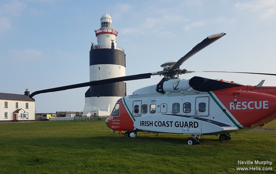
Hook Head
IRE-038
1172-

Hook Lighthouse Car Park, R734, Templetown ED, New Ross Municipal District, The Municipal District of New Ross, County Wexford, Leinster, Y34 KD93, Ireland
Nearby Locations
| Km | |||
|---|---|---|---|
| Waterford Airport | EIWF | 12.8 | 303° |
| UHW | 17.2 | 323° | |
| Ardinagh Aerodrome | EIIF | 25.6 | 041° |
| CIL Rosslare Helipad | 41.9 | 072° | |
| IRE-076 | 50.0 | 080° | |
| Morriscastle Airstrip | 62.8 | 046° |
Units
| Lighthouse Operations |