Satellite and aerial maps of Royal Preston Hospital with nearby locations
| Nearby locations | Km | Bearing | |
|---|---|---|---|
| Fulwood Barracks , England | 2.0 | 132 | |
| Ribbleton Lane , England | 3.4 | 149 | |
| St Michaels , England | 8.8 | 320 | GBMWY |
| Wesham House Farm , England | 11.7 | 273 | |
| Warton , England | 12.6 | 245 | EGNO |
| Carr Valley , England | 12.8 | 206 | GB0554 |
Royal Preston Hospital |
| 53° 47' 28.21'' N 2° 42' 31.04'' W | ||
| 1.5m N of Preston, Preston, Lancashire, England | ||
| ICAO: | IATA: | Local: EGH49 |
| Elevation: 148 feet | ||
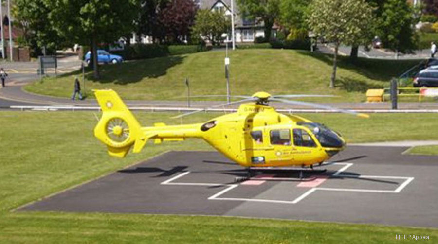
RPH is a Major Trauma Centre. The ground level helipad, on the north west side of the site, has been upgraded for 24 hour operation. 
List of units at Royal Preston Hospital |
| Years | Unit | |
|---|---|---|
| 2012- | NWAA | |
Royal Preston Hospital News |
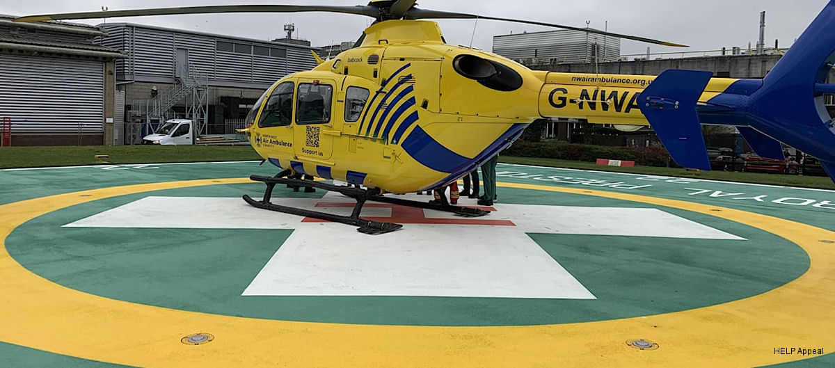
Royal Preston Hospital Newly Refurbished Helipad
12-Feb-26 - Royal Preston Hospital unveils newly refurbished helipad following £720,000 HELP Appeal-funded upgrade