 Lufthansa
Established 1955, Lufthansa is the flag carrier and largest German airline. It is the second largest airline in Europe in terms of passengers carried.
Established 1995, Lufthansa Systems GmbH & Co. KG is a leading airline Information Technology (IT) provider with over 350 customers worldwide. Headquarters in Raunheim near Frankfurt/Main, Germany and offices in 16 countries.
Established 1995, Lufthansa Systems GmbH & Co. KG is a leading airline Information Technology (IT) provider with over 350 customers worldwide. Headquarters in Raunheim near Frankfurt/Main, Germany and offices in 16 countries.
News

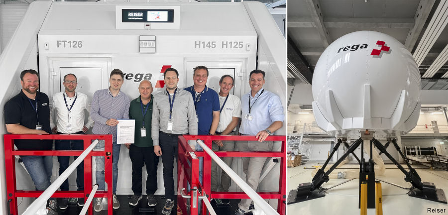


- May 20, 2019 · Lufthansa Acquired H135/H145 Simulator
- Dec 16, 2014 · Lufthansa / HTM New Service From Munich
Units
| Flight school. Pilot courses and training | |||||
| Lufthansa Aviation Training | |||||