Satellite and aerial maps of Coventry with nearby locations
| 52° 22' 10.99'' N 1° 28' 47.00'' W | | Coventry, Warwickshire, England | | ICAO: EGBE | IATA: CVT |
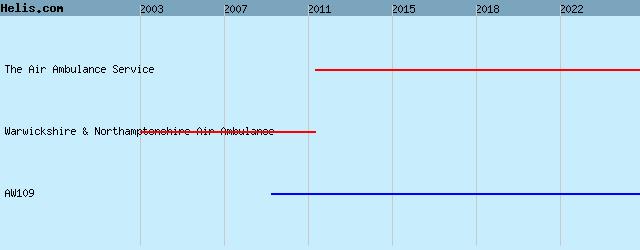
List of units at Coventry |

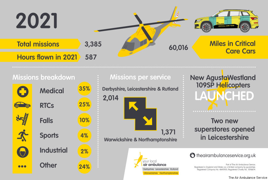
17-Jan-22 - The Air Ambulance Service which operates Warwickshire and Northamptonshire Air Ambulance (WNAA) along with the Derbyshire, Leicestershire and Rutland Air Ambulance (DLRAA) flew 587 hours in 2021 with their AW109SP helicopters operated by Sloane #year2021
|
|
Helicopters for sale
Accidents
Acronyms
Airshows
Future helicopters
Flying a helicopter
Helicopter stories
TV and movies
Helicopter books
Helicopter patches
Helicopter model kits

|

