Satellite and aerial maps of Bert Mooney with nearby locations
Bert Mooney Airport, Fat Jack Road, Butte, Silver Bow County, Montana, 59701, United States
| 45° 57' 17.27'' N 112° 29' 50.85'' W | | 3nm SE of Butte, Butte, Montana | | ICAO: KBTM | IATA: BTM | FAA: BTM | | Elevation: 5550 feet |
List of units at Bert Mooney |

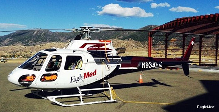
13-Nov-14 - EagleMed LLC has begun flying critical care air medical transport flights throughout southwest Montana from its newest base at Butte’s Bert Mooney Airport.
13-Dec-13 - Aurora, Oregon... Life Flight Network (LFN), the nation’s largest not-for-profit air medical transport service with headquarters in Aurora, Oregon, announced plans today to open a new base at Bert Mooney Airport in Butte, Montana by approximately January 15, 2014.
List of aircraft and events at Bert Mooney |
|
|
Helicopters for sale
Accidents
Acronyms
Airshows
Future helicopters
Flying a helicopter
Helicopter stories
TV and movies
Helicopter books
Helicopter patches
Helicopter model kits

Download App
|