Satellite and aerial maps of Shenandoah Valley with nearby locations
Shenandoah Valley Regional Airport, Little Run Road, Augusta County, Virginia, 24486, United States
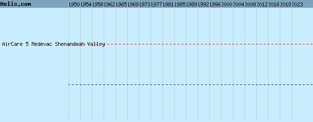
1958 to present | | 38° 15' 49.69'' N 78° 53' 47.40'' W | | 8nm SSW of Harrisonburg, Staunton, Virginia | | ICAO: KSHD | IATA: SHD | FAA: SHD | | Elevation: 1201 feet |
List of units at Shenandoah Valley |
List of aircraft and events at Shenandoah Valley |
By Date | By Serial | By Model
|
|
Helicopters for sale
Accidents
Acronyms
Airshows
Future helicopters
Flying a helicopter
Helicopter stories
TV and movies
Helicopter books
Helicopter patches
Helicopter model kits

Download App
|