--- IQ --- ( switch sort order ) -- Al-Faw -- Shatt al-Arab platforms -- Ar Rutba -- Habbinya -- Qasr Tall Mihl ORAA -- Al Asad Air Base ORAT -- Al Taqaddum ORBB -- Sirsenk ORBI -- Baghdad Intl ORER -- Erbil Intl ORMM -- Basrah Intl ORNI -- Najaf Intl ORRA -- Rasheed AB ORSH -- Al Sahra / Speicher AAF ORSU -- Sulaimaniyah Intl ORTF -- Tall Afar ORTI -- Al Taji ORTL -- Tallil AB ORUQ -- Umm Qasr ---- More Bases ----
Al Taji Al Taji
Iraq
Baghdad - Mosul Road, Shahhadh Ghuwayri, Al-Taji Subdistrict, Al-Kadhimiya District, Baghdad Governorate, Iraq 33° 31' 22.08'' N 44° 15' 25.91'' E Al Taji, Al Taji ICAO: ORTI IATA: Elevation: 121 feet
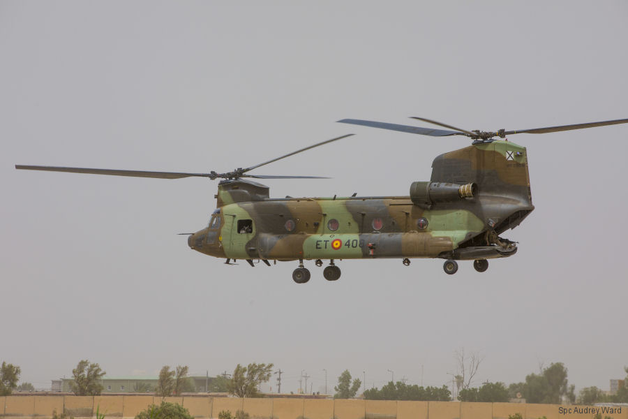
26-Dec-18 - Second contingent of Spanish Army Aviation arrived to Iraq to assume Chinook and Cougar operations embedded on US Army 35th CAB. Deployed last May, they completed 150 missions, flew 700 hours, carried more than 5,100 passengers and over 350,000 pounds ~ 160.000 kg of cargo #TaskForceToro
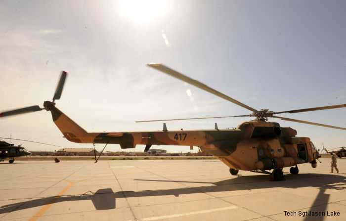
29-Apr-11 - Ninth and tenth Mi-171E from a 14-aircraft purchase for nearly $190 million were delivered to Iraq
List of aircraft and events at Al Taji
Helicopters for sale Accidents Acronyms Airshows Future helicopters Flying a helicopter Helicopter stories TV and movies Helicopter books Helicopter patches Helicopter model kits