Satellite and aerial maps of Jervis Bay with nearby locations
Jervis Bay Airfield, Boorala Road, Wreck Bay Aboriginal Community, Jervis Bay, Wreck Bay Village, Jervis Bay Territory, Australia
| 35° 8' 49.99'' S 150° 41' 49.99'' E | | Jervis Bay, New South Wales | | ICAO: YJBY | IATA: |
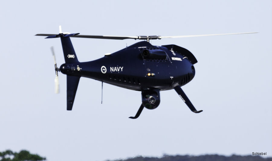
26-Mar-18 - As part of Royal Australian Navy (RAN) acceptance program, Schiebel demonstrated the heavy fuel variant of the Camcopter S-100 drone
|
|
Helicopters for sale
Accidents
Acronyms
Airshows
Future helicopters
Flying a helicopter
Helicopter stories
TV and movies
Helicopter books
Helicopter patches
Helicopter model kits

Download App
|