Satellite and aerial maps of King's College Hospital with nearby locations
| Nearby locations | Km | Bearing | |
|---|---|---|---|
| Alleyn's School , England | 1.6 | 154 | |
| St Georges Wharf , England | 3.1 | 307 | |
| Waterloo , England | 4.4 | 336 | |
| | 4.4 | 009 | |
| | 4.6 | 014 | |
| Trigg Lane , England | 4.7 | 355 |
King's College Hospital |
2016 to present | ||
| 51° 28' 4.4'' N 0° 5' 31.3'' W | ||
| Denmark Hill, London, Greater London, England |
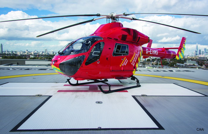
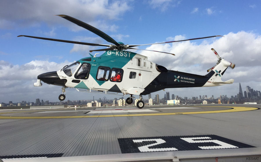
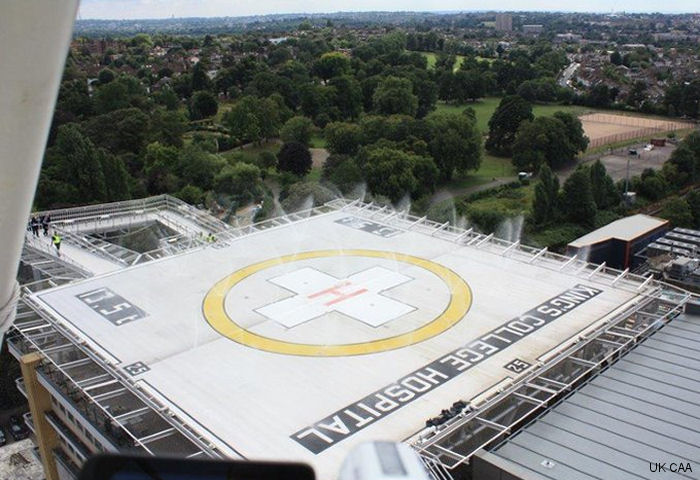
Kings College Hospital is a UK Major Trauma centre. A new helipad with night operation capability opened on the 11th floor of the Ruskin Wing in Oct 2016. This new rooftop helipad was the first in Britain to incorporate a Deck Integrated Fire Fighting System (DIFFS).
This replaced the ad hoc site in Ruskin Park (just to the south west of the hospital estate but across the railway line) and reduced patient transfer time by 20 minutes.
This replaced the ad hoc site in Ruskin Park (just to the south west of the hospital estate but across the railway line) and reduced patient transfer time by 20 minutes.
King's College Hospital News |
Gov Funding for UK Air Ambulance Bases
18-Apr-23 - UK air ambulances bases Almondsbury, Strensham, Henstridge, Royal Sussex County Hospital and King’s College Hospital were selected to receive £200,000 of funding from the Global Navigation Satellite System (GNSS) Programme to land more safely in poor weather #helipads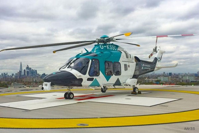
King’s College Hospital Helipad Operational 24/7
07-Mar-19 - King’s College Hospital is the first Major Trauma Centre in London to be granted permission for helicopter air ambulances to land at night as well as during daylight hours #helipad