Satellite and aerial maps of RAF Sculthorpe with nearby locations
Sculthorpe Training Area, Tattersett Road, Tattersett, Sculthorpe, North Norfolk, Norfolk, England, NR21 7PF, United Kingdom
1942 to present | | 52° 50' 44.87'' N 0° 45' 56.00'' E | | 4.8km W Fakenham, England, Fakenham, Norfolk, England | | ICAO: EGUP | IATA: | | Elevation: 213 feet |
List of units at RAF Sculthorpe |
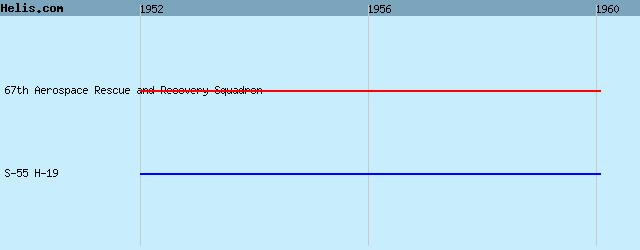
List of aircraft and events at RAF Sculthorpe |
|
|
Helicopters for sale
Accidents
Acronyms
Airshows
Future helicopters
Flying a helicopter
Helicopter stories
TV and movies
Helicopter books
Helicopter patches
Helicopter model kits

Download App
|