Satellite and aerial maps of San Bernardino Intl with nearby locations
| Nearby locations | Km | Bearing | |
|---|---|---|---|
| | 5.7 | 208 | 94CL |
| Redlands Muni , California | 8.2 | 097 | KREI |
| Rialto Municipal / Miro Field , California | 15.8 | 283 | L67 |
| | 23.7 | 187 | |
| March ARB , California | 23.8 | 185 | KRIV |
| Riverside Municipal , California | 25.1 | 230 | KRAL |
San Bernardino Intl |
1942 to present | ||
| 34° 5' 43.30'' N 117° 14' 5.59'' W | ||
| San Bernardino, California | ||
| ICAO: KSBD | IATA: SBD | FAA: SBD |
| Elevation: 1159 feet | ||
Opened in 1941 as a municipal airfield under US Army management, it changed its name in 1942 to San Bernardino Army Airfield. It transferred to the Air Force in 1948 and in 1950 was renamed Norton AFB. By 1954 it became part of Strategic Air Command and was home to SAC bombers and played a major role in ICBM programmes. It was also a logistic support and maintenance base with major overhauls of airframes and engines as routine business. By the early 1980s, an environmental clean-up programme commenced and was completed by the time USAF closed the base in Mar 1994 but it took until 2007 to finally transfer all the property to its present owners. 
List of units at San Bernardino Intl |
| Years | Unit | |
|---|---|---|
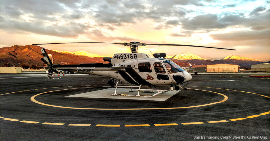
| 2015- | SBSD | |
| City of Fontana Police Department | ||
List of aircraft and events at San Bernardino Intl |
By Date | By Serial | By Model
| Type | Serial | Dates |
|---|---|---|
| CH-47F | ? | 21 21 21 21 |
| S-64A | N176AC | 06oct14 |
| CH-54B | N237AC | 18jul15 |
| S-61N | N261CG | 24may20 |
| BETA | N4003S | 03mar15 |
| MD500E | N425WC | 14jul20 |
| CH-47D | N49CU | 28may20 |
| H125 | N64RX | 02mar23 |
| S-64B | N6979R | 11nov19 |
| CH-54B | N715HT / 715 | 23nov14 |
| EC145 | N984ME | 14apr16 |
